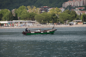

It is located a part of the Balkans and is bordered by Serbia to the northeast, Bosnia and Herzegovina to the north, Kosovo to the east, Albania to the southeast, Croatia to the northwest, and the Adriatic Sea to the west with a coastline of 293.5 km. Podgorica, the capital and largest city, covers 10.4% of Montenegro's territory of 13,812 square kilometres (5,333 sq mi), and is home to roughly 30% of its total population of 621,000.
After World War I, the kingdom became part of Yugoslavia. Following the breakup of Yugoslavia, the republics of Serbia and Montenegro together proclaimed a federation. Following an independence referendum held in May 2006, Montenegro declared its independence in June 2006 and the confederation dissolved.
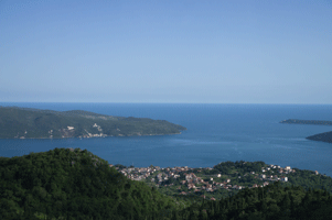
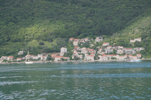
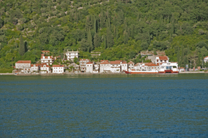
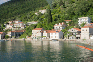
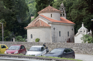
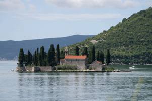
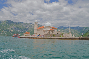
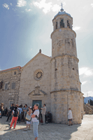
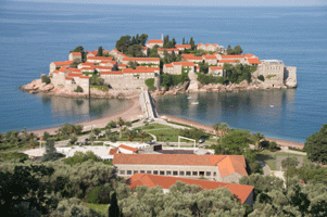
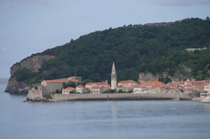
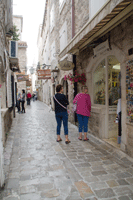
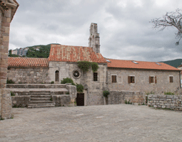
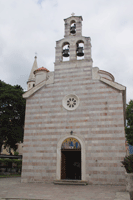
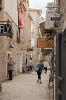
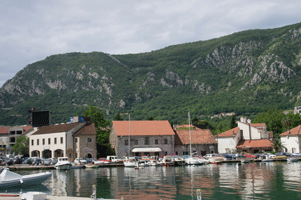
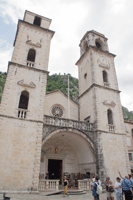
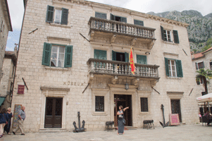
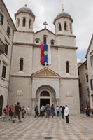
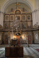
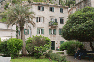
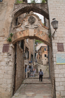
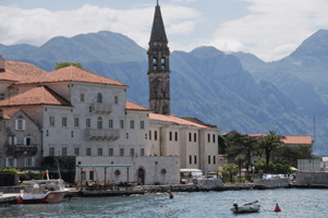
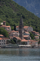
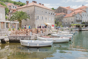
Montenegro is a Balkan country with rugged mountains, medieval villages and a narrow strip of beaches along its Adriatic coastline. The Bay of Kotor, resembling a fjord, is dotted with coastal churches and fortified towns such as Kotor and Herceg Novi. Durmitor National Park, home to bears and wolves, encompasses limestone peaks, glacial lakes and 1,300m-deep Tara River Canyon.
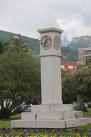
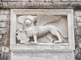
We visited here in June 2016.
HOVER over image for title.