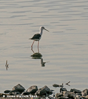

Lake Bogoria National Reserve is in the Great Rift Valley, Kenya, covering Lake Bogoria and the land immediately surrounding the lake. It is administered by the Kenya Wildlife Service.
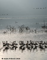
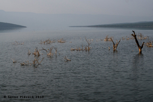
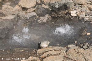
The lake lies in a trough below the Ngendelel Escarpment, a sheer wall 600 metres (2,000 ft) high. The lake covers 32 square kilometres (12 sq mi). It is geothermically active on the western shore, with geysers and hot springs. The geologist J.W. Gregory described the lake in 1892 as "the most beautiful view in Africa".
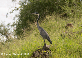
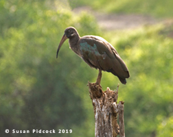
The reserve is in a semi-arid area. The only major river feeding the lake is the Waseges River, which rises on the northern slopes of the Aberdare Range. The Waseges runs through productive agricultural land higher up, through bush and scrub used for grazing, and then through very dry bush before entering the lake at its northern end. The lake is surrounded by grasslands dotted with bushes. There is acacia-ficus woodland to the south, and the north merges into a papyrus swamp.
The park was opened in November 1970. Facilities for tourists include the park lodge, three public campsites and one privately operated campsite. Visitors may also bathe in the hot springs, which form a natural spa. The reserve was submitted as a candidate World Heritage Site in 1999.
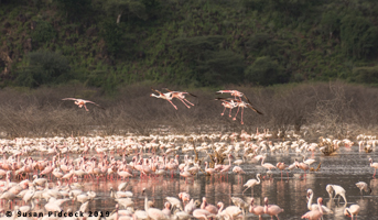
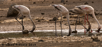
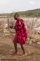
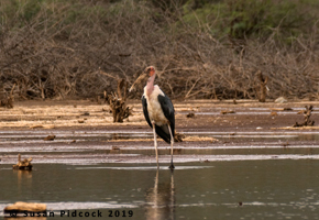
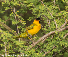
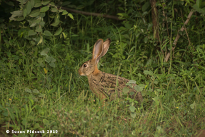
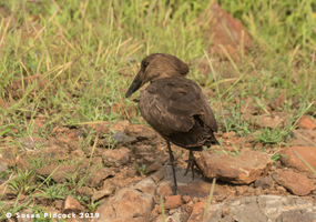
We visited here in August 2019.
Hover over image for title. Click HERE to return to Kenya Main Page